Optimizing excavated areas in floodplains to increase biodiversity using 3d modeling software
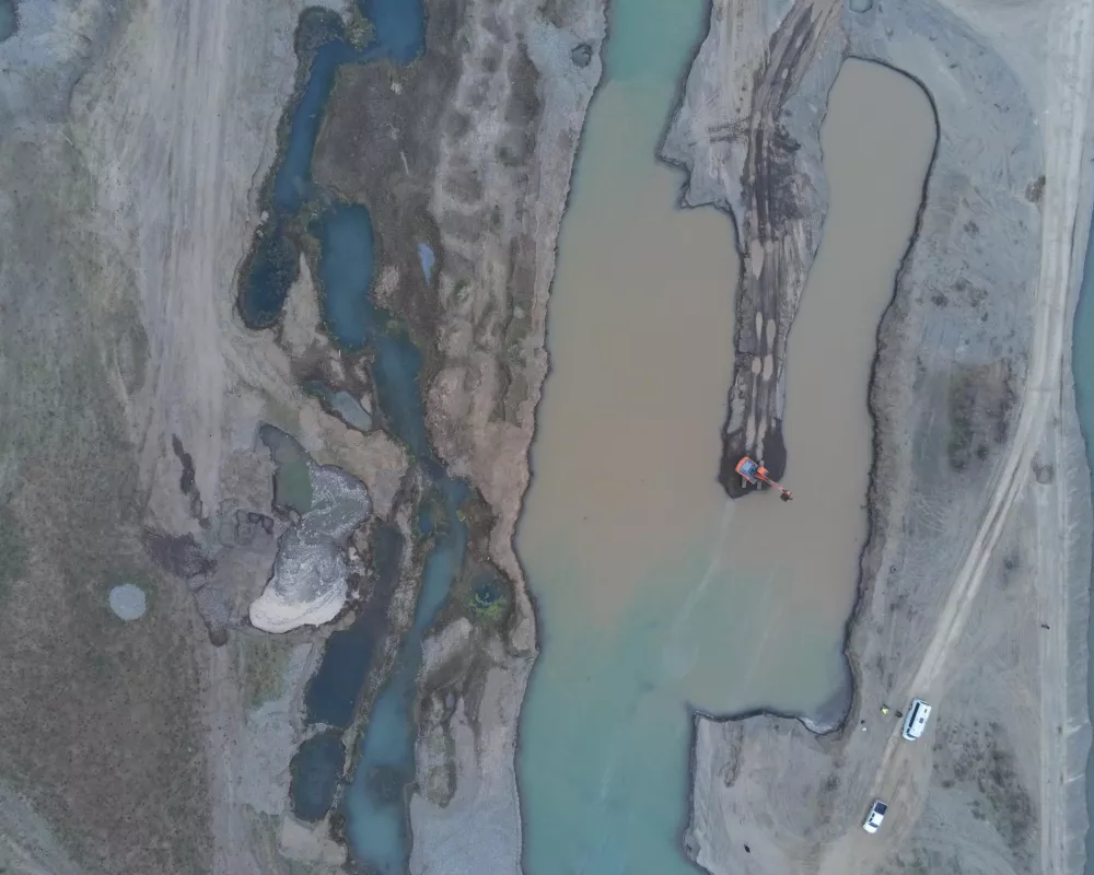
The Lezhbadini Quarry includes alluvial floodplain areas and upland conditions. The current condition of the quarry includes excavated areas and spoils stockpiles. Excavated areas retain water and can potentially provide habitat for a diversity of species and improve water quality.
Our project will test an economical method to rehabilitate riverbed mining sites using 3D modeling software to increase biodiversity and improve water quality. This process will be refined and optimized to meet the requirements of Heidelberg's on-site equipment.
Our project builds on research from previous QLA projects in wetland design including: "OPTIMISING WETLAND FUNCTIONS TO LOCAL CONDITIONS IN CONNECTION TO QUARRIES" (QLA 2016).
Using "off the shelf" 3D terrain and parametric modeling software: Rhino (https://www.rhino3d.com/ ) and Grasshopper (https://bit.ly/3G4PMHT) we will analyze and optimize the existing, inactive excavations. The operations include "relaxing" the vertical profile of pits, increasing the irregularity of the water-land borders to increase surface area, and redistributing excavation spoils.
With both drone imagery and fieldwork, we will monitor the evolution of the modified excavations over time and publish the results.
The project will be led by landscape architects (Ruderal LLC) involved in Georgian ecological rehabilitation projects and will include a team of students in architecture and environmental science.